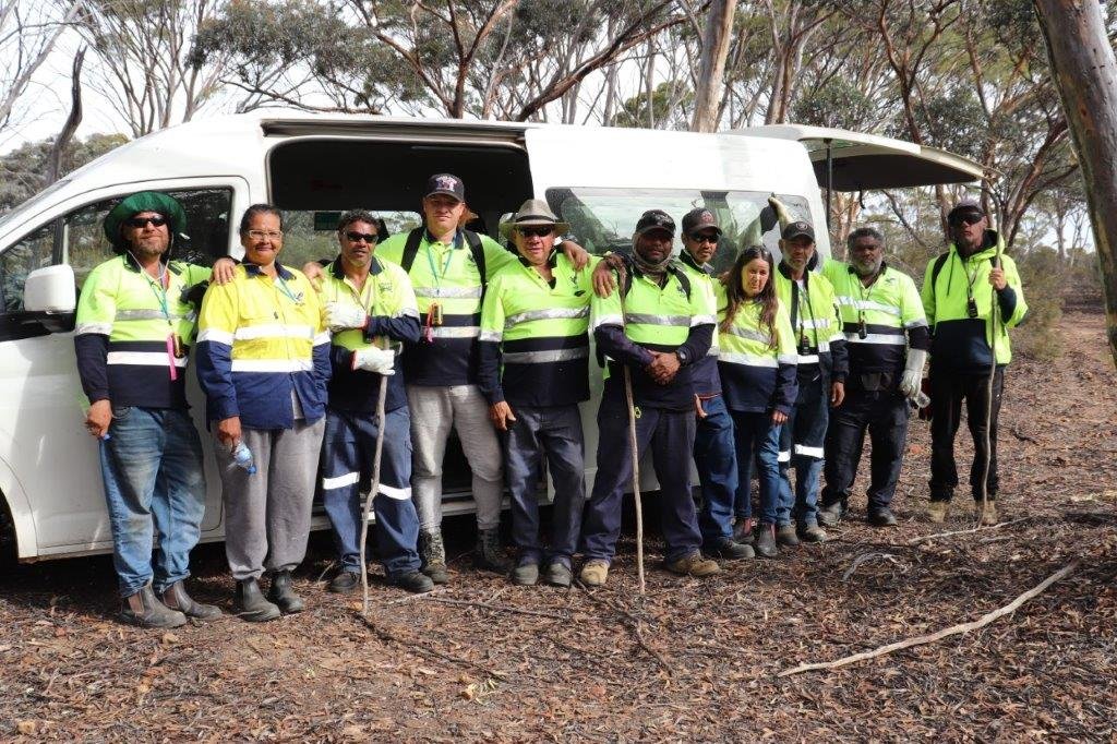
Badjebup Rangers – Grid-walk survey
Navigating through thick bush using a smartphone is not something you’ll see very often, but if you happened to be 250 kilometres east of Bunbury in WA at a reserve locally known as Jarring Nature Reserve on the first weekend of May this year then this is exactly what you’d have seen. Twelve Aboriginal Rangers from the Badjebup Aboriginal Ranger group walking in a straight line through the bush, heads down, looking for mounds. The group met up with the National and WA Malleefowl Recovery Group members to learn a technique, historically known (in the Malleefowl world) as ‘grid-walking’. Essentially, walking together - looking for Malleefowl mounds. The smart-phones were being used to keep everyone in the line ‘on-track’, with UHF radios directing the group to ‘move-out’ or ‘hold-the-line’ and generally keeping it together. This ‘grid-walking’ technique had not been employed for some decades in WA by the Recovery Groups (it is still used by environmental consultants), as it has been superseded with the advent of quicker and more efficient aerially-flown LiDAR (Light Detecting And Ranging) surveys.
WA is seeing the revival of ‘boots-on-the-ground’ surveying and the Rangers like to get out and see their country. “As a surveying technique for the smaller bush reserves this technique works well”, says Dr Liz Kington, the National Malleefowl Recovery Group Trainer. “We hope the birds are still hanging on in these areas and this is one sure way to find out”. The South-West Catchments Council through its National Landcare Program-funded work have been keen to find out more about remaining Malleefowl populations in their Southwest region. With so much of the suitable mallee habitat cleared for agriculture, employing Aboriginal Rangers to locate Malleefowl mounds in these remaining reserve areas appears to be a winner.