Malleefowl mounds in the Great Victoria Desert

June 2020 and Australia was (and still is) going through some major shake-ups thanks to Covid-19. The National Malleefowl Team had been contracted by Great Victoria Desert Biodiversity Trust in Western Australia to check whether structures identified by LiDAR were, in fact, malleefowl mounds or something else (such as human disturbance, tree roots or other false signals). It’s the sort of work the NMRG is increasingly being contracted to do and is extremely important in financing our other conservation work.
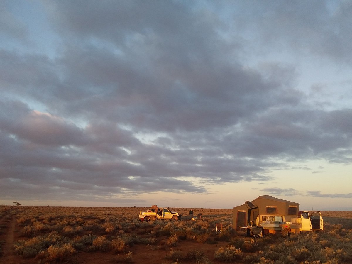
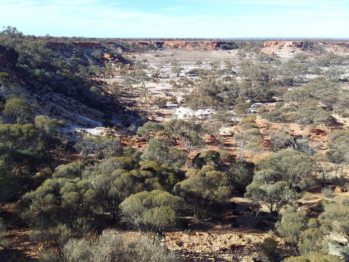
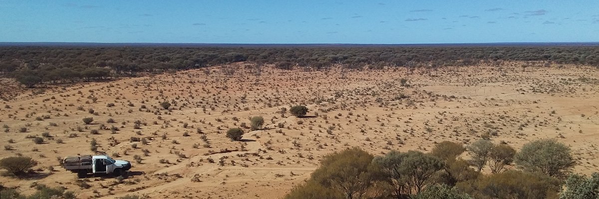
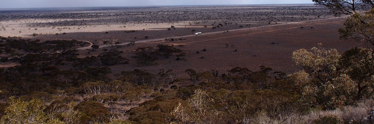
While the NMRG has done several LiDAR ground truth projects, this was different in one big way…it’s in the middle of the Great Victoria Desert, Australia’s largest desert and one of its most remote places.
Our team was made up of three pairs, Graeme (team leader) and Peter Chantler (famous camelier and all round bush man), Dr Joe Benshemesh and son Ari, Tim and Donna. Three Toyotas headed north from Cocklebiddy across a surprisingly slow couple of hundred km. The Nullarbor Plain is the largest piece of limestone in the world but its surface is made up of loose (sharp) rocks that require 30km max speed: 200km takes all day. But once we got north of Rawlinna we were into easier sandy tracks.
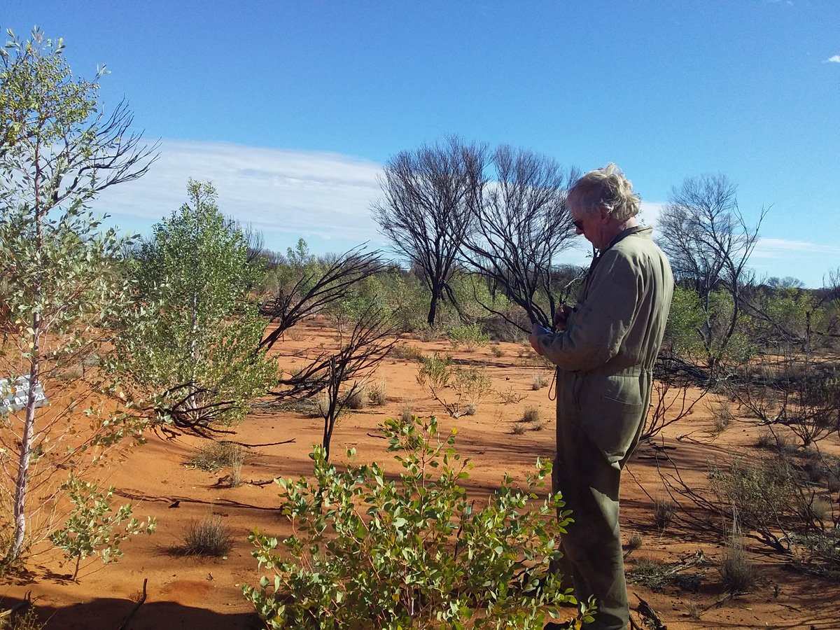
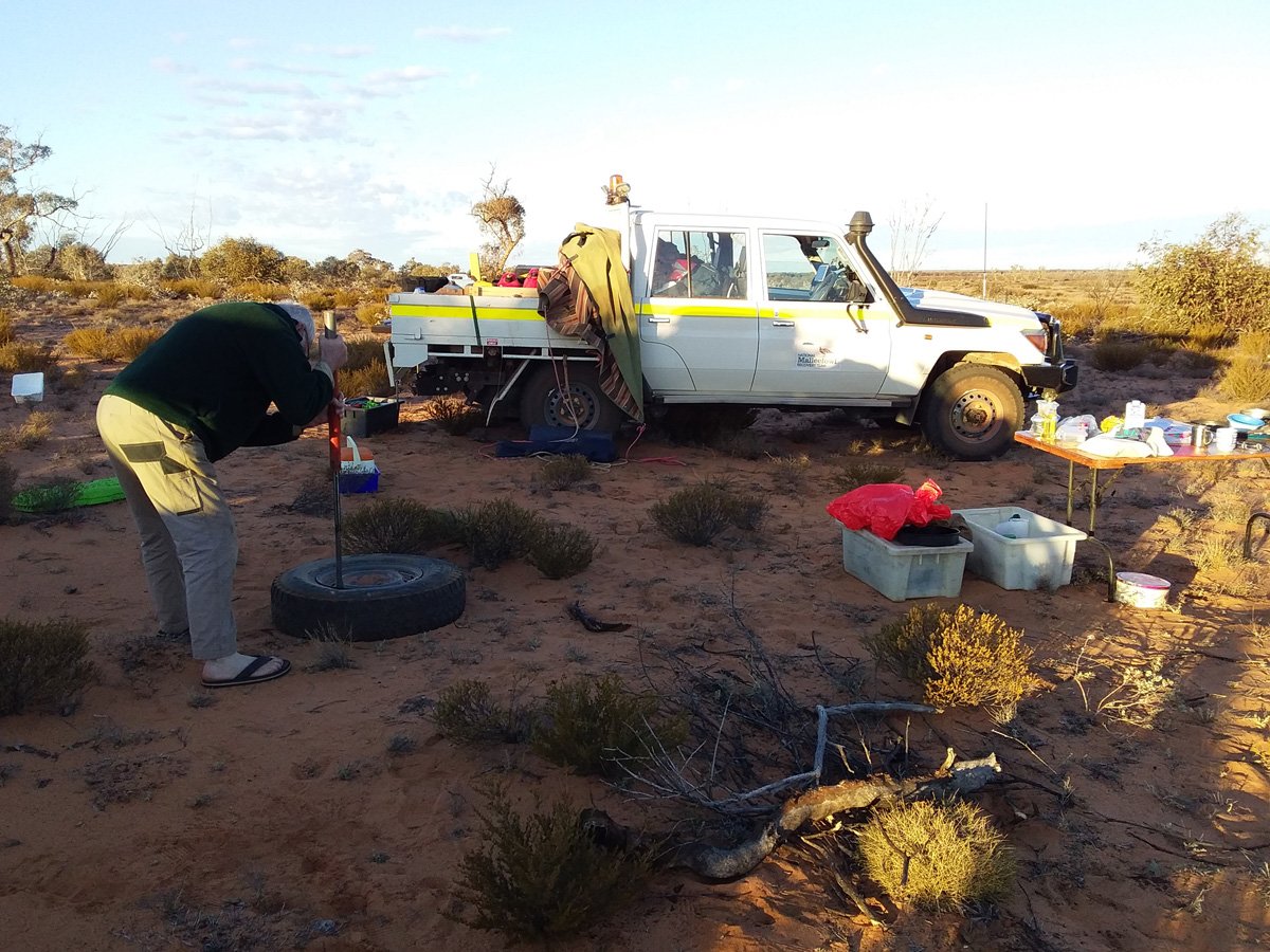
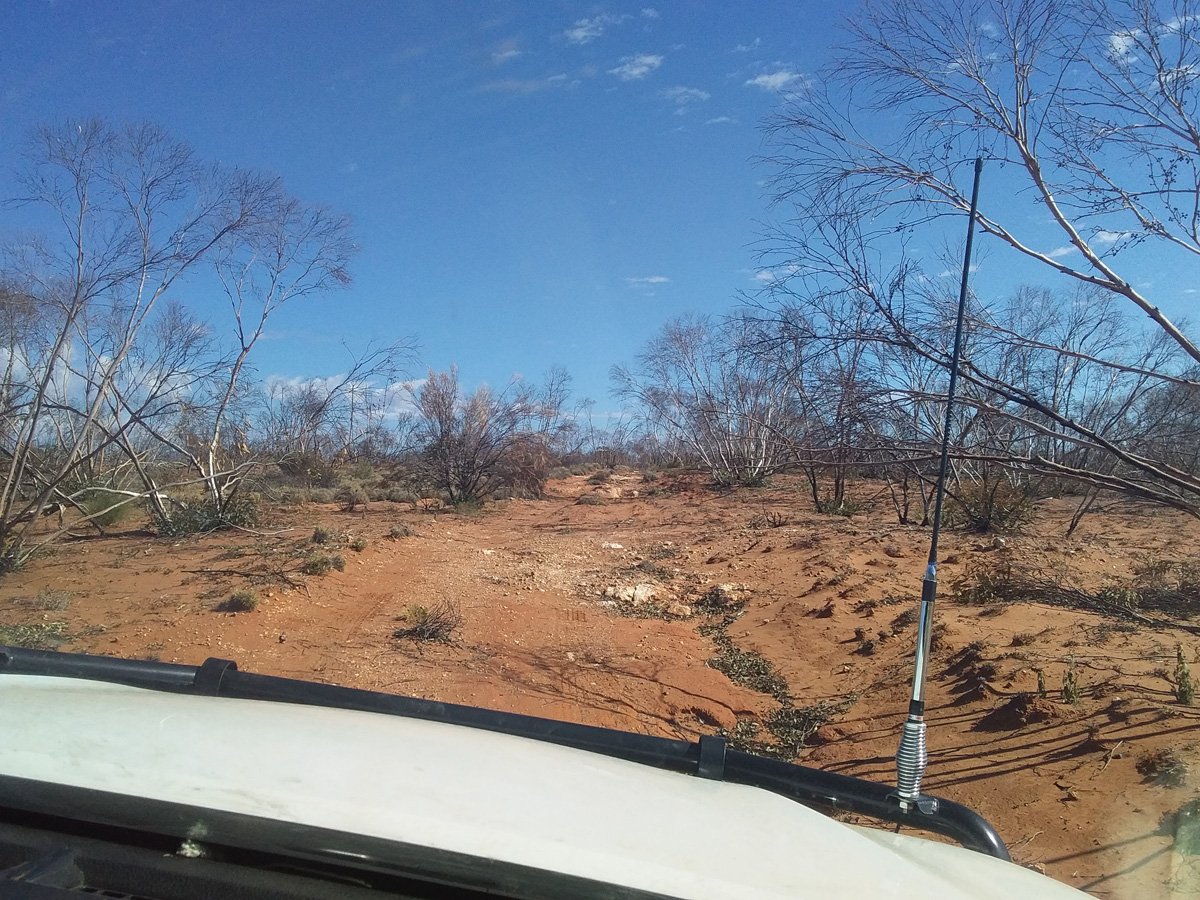
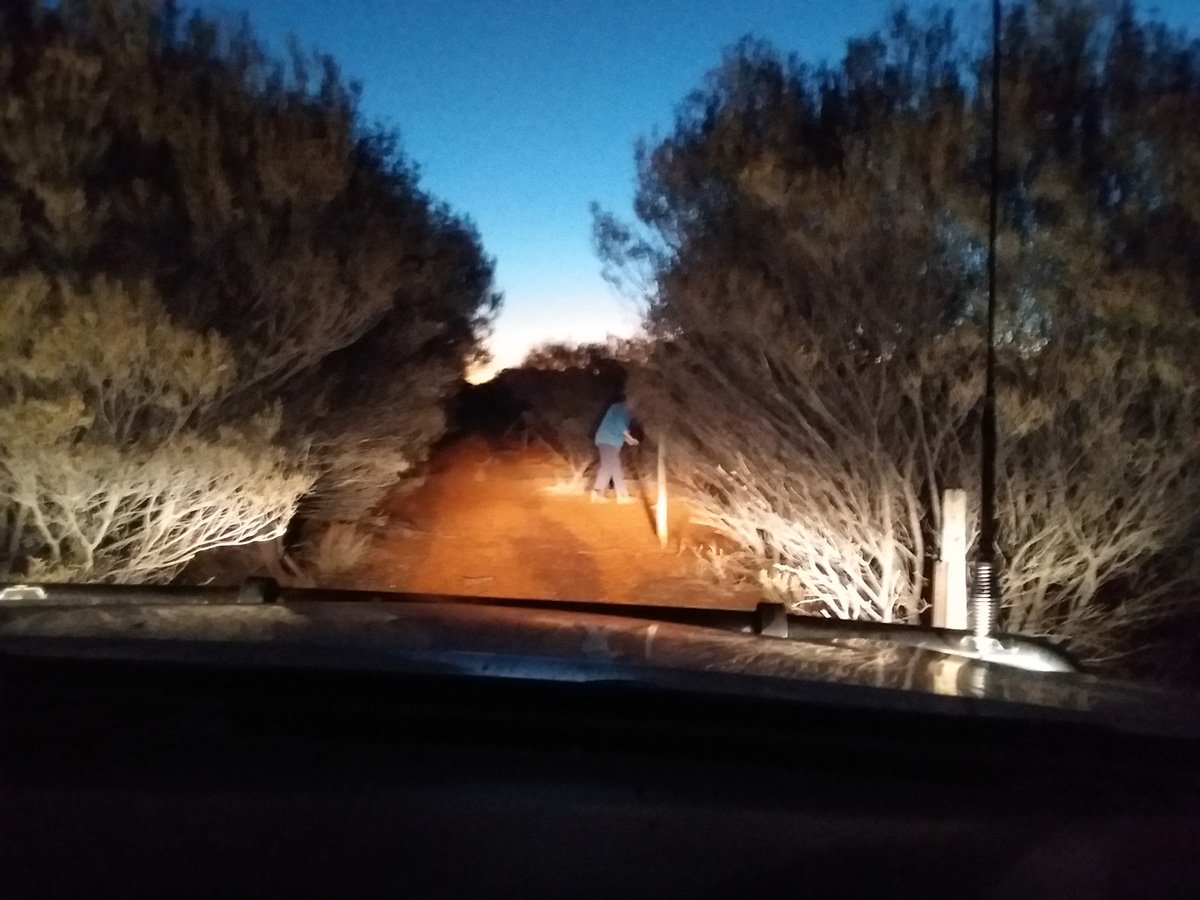

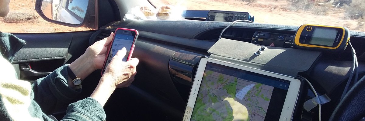
LiDAR flights use lasers to identify possible mounds. Anditi P/L analysed the data and classified all potential mounds into 4 categories. Our job was to check all class 1 and 2 detections and a good swag of 3s and 4s just to see what they may be. Once we had all arrived on site it was just a simple matter of following our GPS systems to each potential mound, verifying it and collecting monitoring information if it was a malleefowl mound, and moving on. What we hadn’t realised was that many of the tracks that showed up on imagery and old maps no longer exist! Sometimes we just couldn’t get to a mound. The tracks were sometimes totally overgrown (see our very scratched up hilux!) or blocked by fallen trees, or they could just disappear!

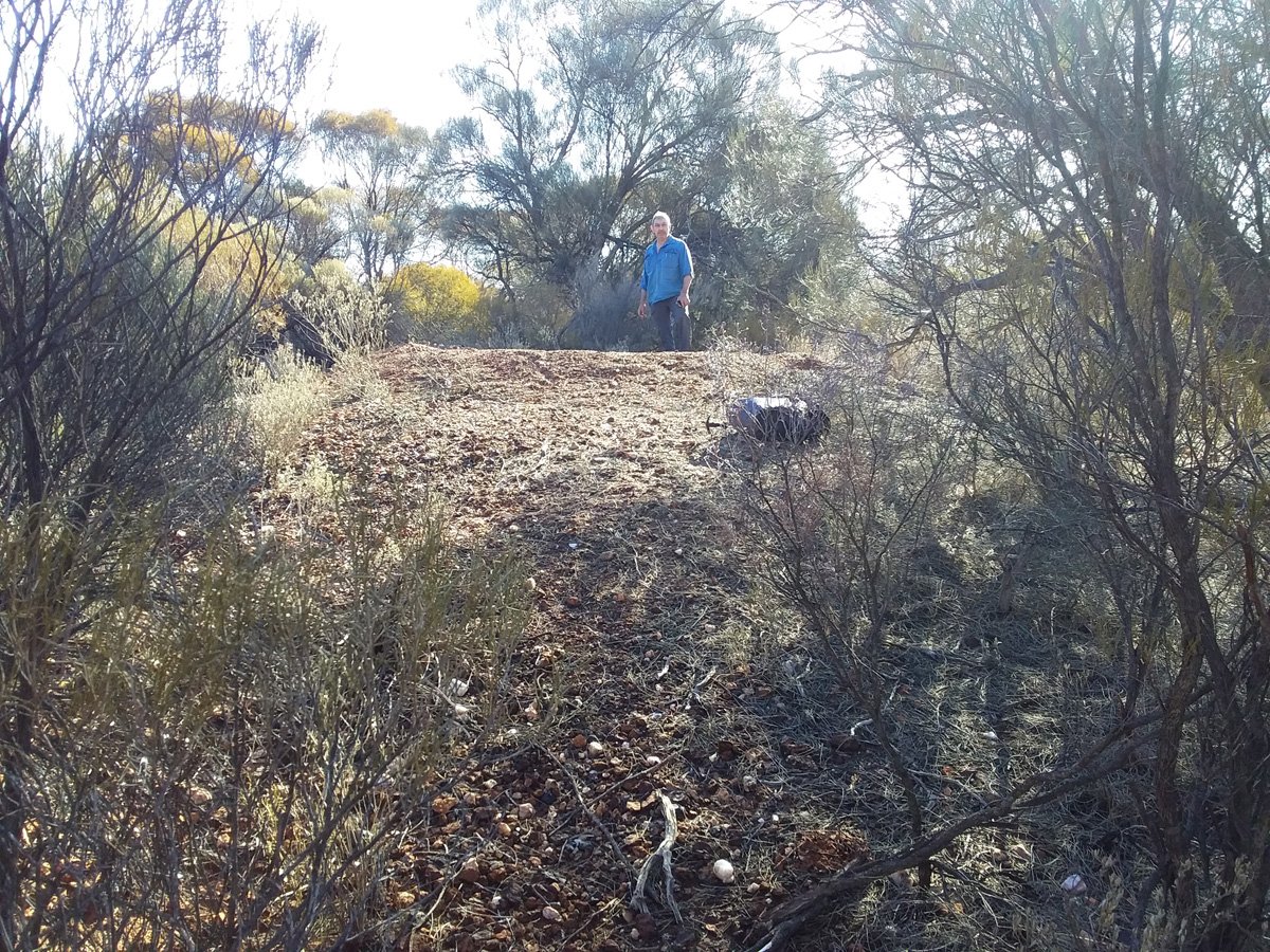
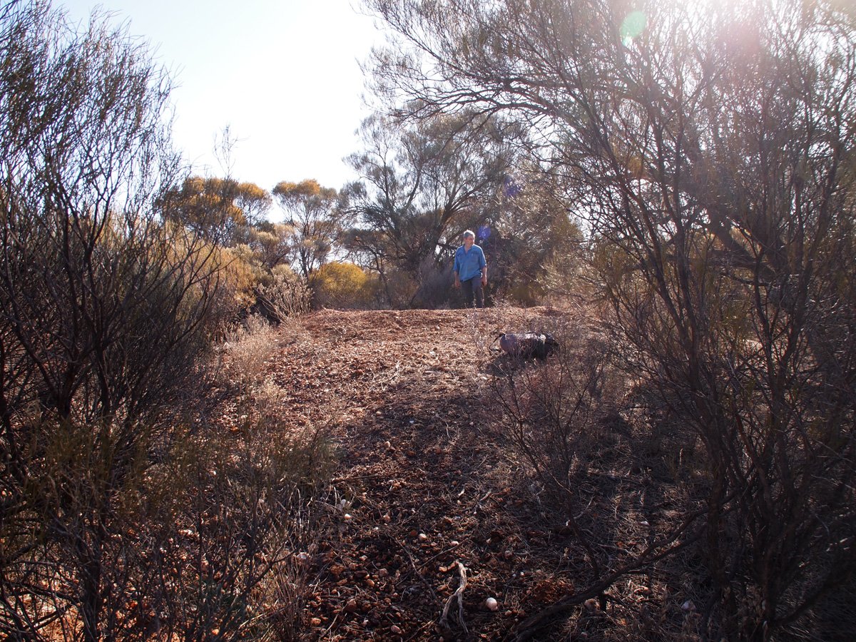
Some highlights included coming across one of the ancient Malleefowl mounds. It was huge at 11 meters diameter and 1.5m high and included stones that seemed too large for malleefowl to rake; might this ‘megamound’ date back to the giant malleefowl (Progura) many thousands of years ago?
On another day we actually saw a malleefowl. Joe discovered where it had been digging for tubers in this very dry area. Clearly, the bush here is experiencing a long dry spell, making it very tough for our birds. As we approach Laverton there was more bush and more moisture, and correspondingly more malleefowl activity. On one day we found 3 mounds with recent activity but unfortunately not much hope for them if it doesn’t rain.
While the dry spell gave us some low numbers regarding actual activity, it was still a great reminder of our malleefowls’ resilience. The harshest environment combined with very low rainfall and the Malleefowl are still out there having a go.